
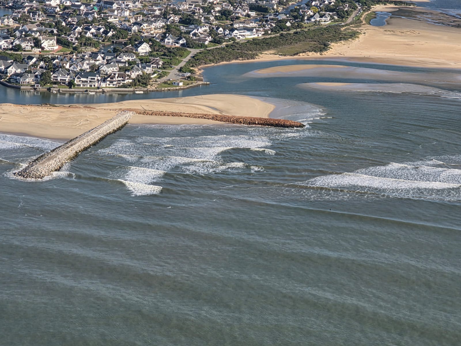
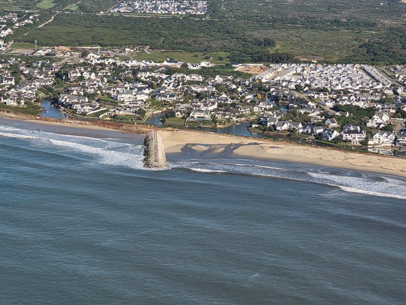
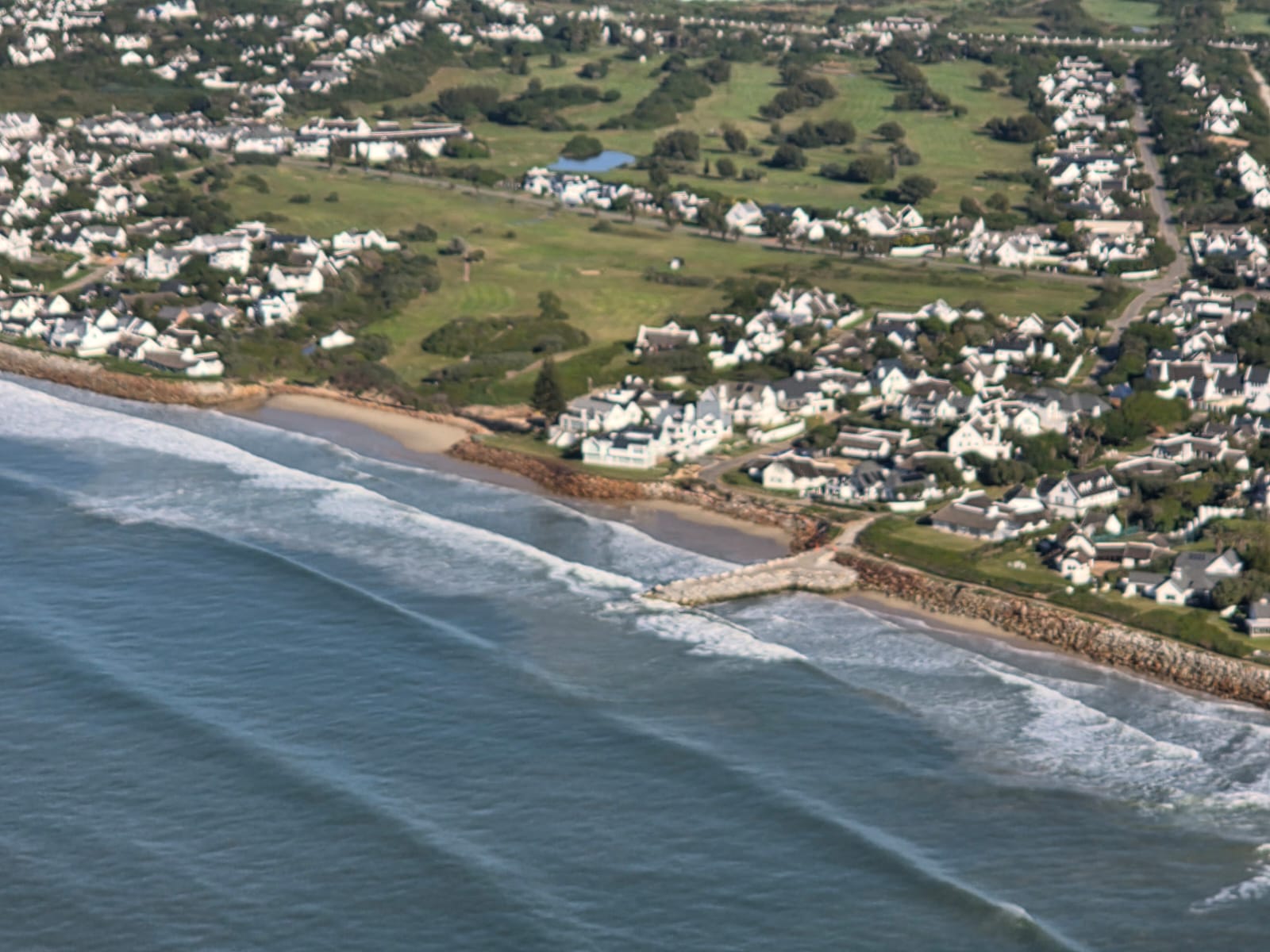
A fresh set of aerial photographs by Barry Culligan captures the latest progress along the Long Term Coastal Protection Scheme.
The images show activity at the River Mouth Groyne (NG6), the angled groyne (NG5), the revetment and the surrounding shoreline, providing a clear view of the ongoing coastal engineering works.
Dredging operations continue consistently, while beach nourishment remains on track as sand steadily accumulates along the coastline. The latest aerial perspective highlights the gradual transformation taking place as the project continues to reshape and strengthen the beachfront.



All photographs by Barry Culligan.
Read More:
Thyspunt Nuclear Plant Could Change Kouga Forever, WESSA Warns – Video by Kouga News



Please could you publish more photos of the all the groynes, especially the main beach groyne and also a plan of the groynes so we understand the numbering.
what’s happening to the sand and mouth opening on north/east side of the mouth, not shown in this series?
How much longer is it going to be before we can access the beaches?
George Ave beach has been in such a mess and unaccessible for over two years now!!!!